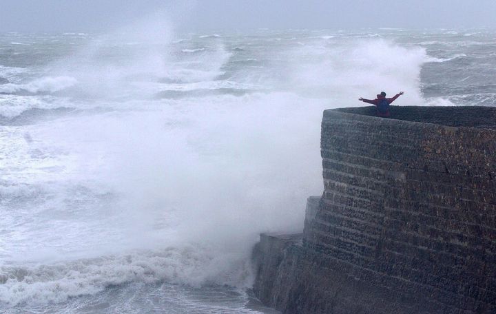
It would be wise to prepare for some feisty weather as February gets underway.
From Wednesday, Britain can expect a period of unsettled skies with the very real potential of the next named storm materialising.
Next in the sequence is Storm Doris, which pending the next 36 hours, could be blustering her way to our shores with heavy rains and strong winds.

The western coast of Britain will be particularly affected, with forecasters expected to make a call by Friday as to whether Doris has taken shape.
AccuWeather forecaster Eric Leister told The Sun a shift in the overall weather pattern is due to brew a number of storms.
He said: “This expected outbreak of storms will be a significant change from what has occurred across the UK so far this year.
“A dominating area of high pressure has been centred over central and western Europe during much of January, shielding the UK from any significant storm systems.”
Thankfully, the wet and wild weather will be accompanied by relatively mild temperatures in the high singles across most of Britain and double figures for the south.
A spokesman for the Met Office said: “We are in a changing weather system and people would do well to keep an eye on the forecast.”
