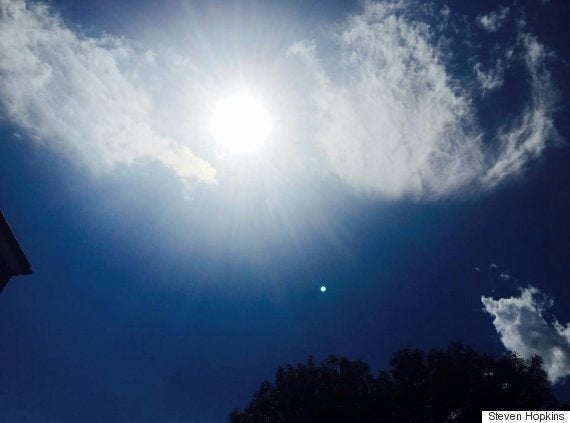
Flash floods, tornadoes, heavy thunderstorms and torrential rain could batter parts of Britain as soaring temperatures trigger extreme weather.
A "Spanish Plume" bringing hot unstable air up from France on Saturday is expected to push the mercury into the 30s (86F) celsius before giving way to downpours, with the risk of up to 30mm of rain in some areas, forecasters warned.
The Met Office last night issued a yellow "be aware" warning for rain lasting from 2pm to 9pm for areas in the east of England.

Temperatures are expected to reach the 30C (86F) mark in the UK today, before giving way to thunderstorms
A spokesman said: "Isolated heavy, thunderstorms could break out on Saturday afternoon and last into the evening.
"Whilst most will miss these, the public should be aware of the risk of localised surface water flooding, strong gusts, lightning and hail."
The warning comes after US scientists found that July was the warmest month on record worldwide and 2015 is likely to be the hottest year.
With southerly winds expected on Saturday, the brief surge of heat from the continent will affect central and eastern parts of England.
Heavy rain is likely to become widespread through the weekend, especially in the west and north, MeteoGroup said.
The regions most likely to see fairly hot weather include London, which could see temperatures of around 30C (86F), Norwich and Cambridge at 28C (82.4F), and Bath, Birmingham and Lincoln at 25C (77F) or 26C (78.8F).
The heat and humidity in central and eastern areas could also trigger severe thunderstorms in the Midlands and northern England. Hail and strong wind gusts are possible.
The rain and areas of thunderstorms then look like spreading into Scotland overnight and into Sunday, with further rain or showers still possible further south, while Northern Ireland may escape much of this activity.
The unsettled conditions could last into the start of next week, before turning cooler again.
This week officials at the National Oceanic and Atmospheric Administration in Washington DC said July's average global temperature was 16.5C (61.86F), beating a previous record set in 1998 and 2010.
SEE ALSO
UK Weather Forecasts A Month's Rain In 36 Hours As Storms Batter The South
Typhoon Soudelor Hits China After Battering Taiwan With 100mph Winds
UK Weather Forecasts Britain Will Be As Hot As Barcelona As Temperatures Set To Climb To 28C
The first seven months of this year were also the hottest January-to-July span on record.
A Spanish Plume is a colloquial description of a weather situation in which a large southwards dip in the high altitude jet stream develops to the west of Europe, encouraging a deep southerly wind flow.
This pushes hot and humid air from Iberia north and north-east into northern Europe, including the British Isles.
The proximity of active weather systems moving with the jet stream along with heat from the summer sunshine can encourage thunderstorms.
Strong winds from the jet stream help to organise the thunderstorms and can increase their severity.
Forecasters said the Spanish Plume can create a risk of tornadoes, although there is a low risk of that this weekend.