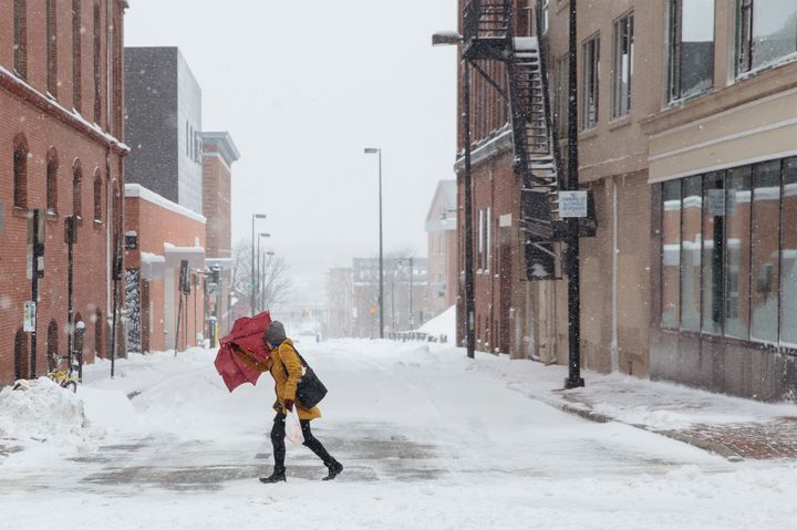
Tuesday may be the first official day of spring, but much of the East coast is still in the depths of winter. In the following days, the fourth nor’easter in less than three weeks is expected to pummel the region from the mid-Atlantic up to New England.
This fourth nor’easter ― a type of storm defined by the northeasterly direction of its winds as it spirals in from the south ― will likely bring “wintry precipitation” across the Appalachians and interior mid-Atlantic on Tuesday before spreading to New England on Wednesday, the National Weather Service said Monday. As with the past three events, fierce winds associated with the nor’easter may trigger widespread coastal flooding.
The back-to-back nature and intensity of these storms may be explained by a number of factors ― some climate-change-related and some less so, scientists say.
“The number of nor’easters we are seeing is tied, to some extent, with the unusual pattern of the jet stream we are seeing,” Michael Mann, a professor of atmospheric science and the director of the Earth System Science Center at Penn State University, told HuffPost. He pointed to the current La Niña phenomenon ― a cyclical weather pattern that drives a jet stream high into the North Pacific, bringing precipitation to the northeast U.S. ― as another important factor.
Kevin Trenberth, a senior scientist in the climate analysis section at the National Center for Atmospheric Research, echoed Mann’s comments.
“The patterns of weather are largely natural and in this case governed especially by La Niña conditions in the tropical Pacific Ocean,” Trenberth said.

But climate change likely plays a major role bolstering the strength of these back-to-back nor’easters, which have caused some of the highest snowfall records in parts of Massachusetts.
″[T]he emerging La Niña is playing a role [in the frequency of storms.] But the incredible intensity we’ve seen with several of these storms may indeed be symptomatic of warming oceans,” Mann said.
The nor’easters, Trenberth agreed, “are likely invigorated by very high sea temperatures off the coast in Atlantic, part of which is global warming, and this can mean bigger snowfalls.”
Mann wrote about the link between warming oceans and strong winter storms for the Climate Reality Project in January.
The warmer the ocean surface, the more energy that is available to intensify these storms. And the warmer the ocean surface, the more moisture there is in the atmosphere — moisture that is available to form precipitation. As the winds wrap around in a counter-clockwise manner, they bring all of that moisture northwest, where it is chilled and ultimately falls not as rain but snow. Lots of snow.
Other recent research has found that heavier snowfall during storms in the northeast may be related to the warmer temperatures in the Arctic ― which had higher temperatures than parts of Europe late last month.
In a study published last week in the journal Nature Communications, researchers with Atmospheric and Environmental Research and Rutgers University found that major winter storms were two to four times more likely to occur at times when it’s abnormally warm in the Arctic than when it’s abnormally cold.
