The heatwave sweeping parts of Britain is set to continue into the start of a new week, before “severe thunderstorms” roll in.
The mercury looks set to reach 35C on Sunday – with Kent, Sussex and parts of London being the most likely to see the highest temperatures, according to Met Office forecaster Craig Snell.
It comes as the Met Office warned that huge storms are likely in the coming days
Southern and central England is set to enjoy temperatures in the high 20Cs, while cloud and breezes in some places may result in milder weather in the high teens.
Snell said: “There is some contrast. For some of us the heatwave will continue on Sunday and beyond.”
It comes after Friday saw the hottest August day in 17 years, with the mercury hitting 36.4C at Heathrow and Kew Gardens.
Saturday’s top temperature was 34.5C – which was recorded at Frittenden in Kent, Wiggonholt in West Sussex, and Herstmonceux in East Sussex, the Met Office said.
With some cloud drifting in across the North Sea many places saw a relatively grey start to Sunday, but lots of sunshine – perhaps giving way to isolated showers at points – is expected across much of the southern half of the UK throughout the day.
Temperatures across England and Wales are expected to reach the high 20cs and low 30Cs, with Scotland and Northern Ireland having a few locations that may hit 24C.
Snell said: “Overall Scotland and Northern Ireland are not tapping into the really hot air which parts of England will be experiencing on Sunday.”
However, thunderstorms are forecast for next week.
Yellow thunderstorm warnings for all parts of the UK have been issued for Monday through to Wednesday. The warning states: “Some places are likely to see severe thunderstorms early next week – but there is significant uncertainty in location and timing.”
A yellow thunderstorm warning also remains place for England and Wales on Thursday.
Dan Harris, Met Office deputy chief meteorologist, said some places are likely to be hit with up to 80mm of rain in just a few hours.
He said that “the ingredients are there” for them to strike, but “it’s just too early to pinpoint the details of exactly where and when thunderstorms will occur”.
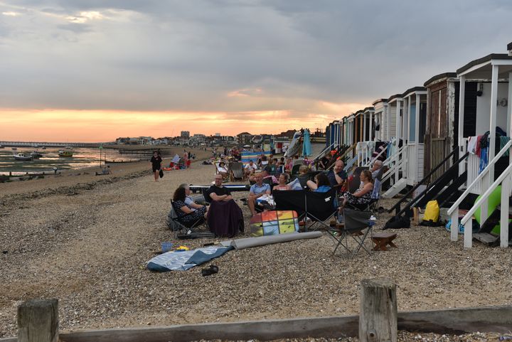
Saturday, for the second day in a row, saw crowds of people headed for the coast – with images showing packed out beaches.
Thanet District Council said Ramsgate Main Sands beach in Kent was “extremely busy”, with high tide likely to make social distancing difficult.
Blackpool Police also reported its beaches being busy and it had a “larger than usual” number of children going missing. In Norfolk, police recovered a body from the water at Bawsey Pits near King’s Lynn following reports of a man getting into difficulty in the water.
South East Water urged its customers to put away their hose pipes, garden sprinklers and garden water toys as it said that a spike in demand had left some people with low water or no water.
