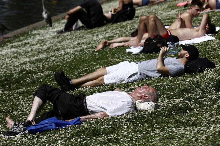
More than 240 hours of sunshine last month led to it being the warmest May since records began more than 100 years ago, forecasters have said.
The average daily maximum temperature throughout May was 17C, provisional figures have revealed - the warmest it has been since 1910.
The previous warmest May was in 1992 when the average daytime maximum was 16.9C.
The UK was bathed in 245.3 hours of sunshine this May - the sunniest spell since 1929. The previous sunniest May was in 1989 when 241.7 hours of sunshine were recorded.
In a statement, forecasters said it was “a spring of contrasts” but added that the period was 0.3C higher than the average between 1981 and 2010.
Across the UK, the average May temperature was 1.5C above the long-term 1981-2010 average at 11.9C. Scotland was cooler, at 10.5C, but its spike was higher, with a long-term average increase of 1.7C.

Derbyshire, Aberdeenshire, Banffshire and the Isle of Wight all recorded daytime maximum temperatures 3C or more above their long-term average temperatures for the month, the Met Office said.
Tim Legg, of the Met Office National Climate Information Centre, said: “Increased sunshine during the month has helped to keep daytime temperatures high, leading to it provisionally being the warmest May since records began in 1910. It is also likely to be the sunniest May since 1929 too.”
Less than than two-thirds of the expected amount of rain fell during May.
But with wetter than average spells during March and April, the rainfall for the UK for spring as a whole - March to May - was near average, the Met Office said.
Meanwhile, the Environment Agency on Saturday warned that “heavy, thundery showers” could lead to flooding.
The Met Office said there will be sunshine in parts of the country this weekend, but it will be dominated by heavy rain.
Alex Burkill, Met Office meteorologist, said Cornwall, Devon, south Wales and Northern Ireland will have a wet start to the weekend, with heavy rain spreading throughout the rest of the UK.
“Some heavy downpours... with hail and thunder and those showers keep going in some places through the night,” Burkill said.
“For much of the country, [there is] some sunshine, but on Sunday there will be further heavy downpours and this time it’s not just Northern Ireland, Wales and the south west, it’s the Midlands, into northern England and later in the day southern Scotland, where we are likely to see some of these fairly intense downpours. Hail and thunder, again, [is] a possibility.”
The heavy rain isn’t expected to last long and sunshine is expected to return early next week, with temperatures reaching 22C in the capital and 25C on the south coast.
