The Met Office has unveiled a pretty dismal look at our weather over the next week with a new graphic.
Even if you think you’ve escaped the rain, by Thursday, you’ll probably realise that you actually haven’t....
Posting on X (formerly Twitter) on Tuesday afternoon, the weather experts explained: “Whilst the details remain uncertain, there’ll be further rain for all of us in the coming days.”
Accompanying the caption was a grim-looking graphic showing the whole of the UK turning blue – to represent rainfall – over the next week.
The post clearly had an effect, too. In less than 24 hours, more than 50,000 people on X had looked at it.
However, the Met Office does add that the “nature of showers means there’ll be big variations in rainfall over short distances”, a detail which isn’t entirely captured in the 3D visual.
The Met Office’s website also describes the “headline” weather for the week as: “Remaining unsettled throughout the coming days.”
Rain is then mentioned in the summary for every day, with “heavy downpours at times” expected for Friday to Sunday, in between bits of “sunshine and showers”.
In the forecast for Wednesday, the Met Office released a yellow warning for fog around Hull, Manchester, Stoke-on-Trent, Nottingham, Birmingham, Peterborough and Norwich.
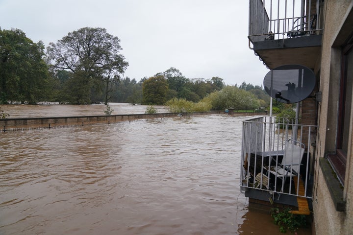
There are also flood warnings still in place for England and Wales. It comes just days after the UK’s struggles with Storm Babet, which battered the country last week.
Unfortunately, this heavy downpour isn’t that surprising.
According to the Intergovernmental Panel on Climate Change’s most recent report, it is likely that average precipitation has increased since 1950 – and has probably only accelerated since 1980 – because of human influence.
