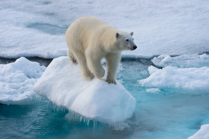
Climate change sceptics, listen up: there was less Arctic sea ice in January than in any other January since records began.
It continues a trend that began in October – and with air temperatures unusually high and storms imminent, it’s one that shows no signs of abating.

The average extent of Arctic sea ice last month was 5.17 million square miles, 100,000 square miles lower than January 2016, the previous record holder.
That drop is equivalent to an area of ice large enough to cover all of England. Twice.
The average was also 487,000 square miles lower than the January 1981 to 2010 long-term average, according to the National Snow and Ice Data Center.
This infographic from Zack Labe, a researcher at the University of California, Irvine, shows how the thickness of sea ice has dwindled this year too.
Last year, the sea ice extent at the end of the summer melt season fell to the second lowest level of all time.
High temperatures have contributed to the ice loss and Mashable reports a new storm due to arrive today (Thursday) is set to ensure temperatures remain high.
Besides the dire implications for polar bears, melting sea ice also has a major impact on global weather patterns.
Temperatures are rising faster in the Arctic than elsewhere, reducing the intensity of the jet stream and potentially leading to periods of drought, intense heat and cold snaps such as the Polar Vortex in different parts of the world.
Melting ice also contributes to rising sea levels, which devastates coastlines and plays into the hands of storms like Hurricane Sandy that cause major flooding.
In short, it’s really bad news.
