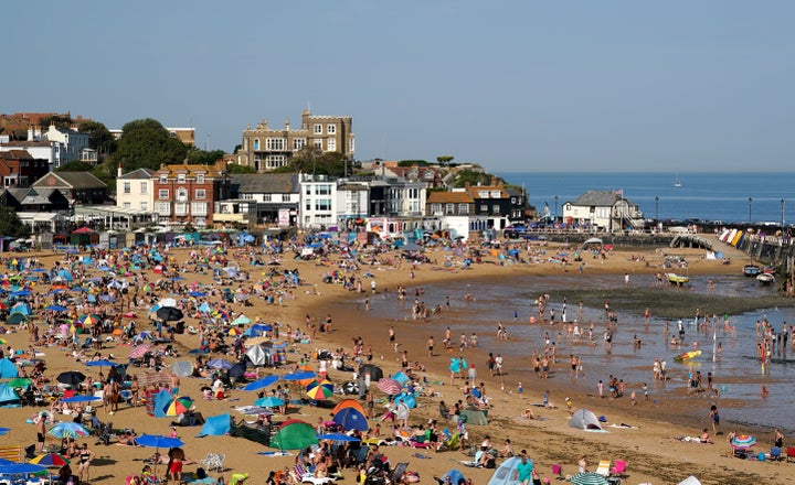
This may be hard to believe after so many weeks of rain, but we are actually about to be hit with a heatwave in the UK!
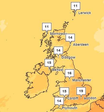
It’s not quite the dizzying heights of a midsummer heatwave but over today and tomorrow, parts of the UK can expect temperatures as high as almost 20°C and for parts of England, this weather will continue on into the weekend.
Finally.
According to the Met Office, London and East Anglia will hit the highest temperatures later today while the Midlands and East Yorkshire will experience warmer temperatures. In fact, most of the UK can expect temperatures in the high teens, apart from northern Scottish islands which will hit highs of 11°C.

Does this mean the heavy rain period is over?
While this warmer weather may have us hoping that the endless rain is stopping, there are still flooding warnings in place for parts of England, Wales. and Scotland.
In fact, in just the past 24 hours, 85 flood warnings have been issued by different authorities across the UK.
Additionally, in the forecast for next week, the Met Office has warned that we should expect “showers or some longer spells of rain.”
These are most frequent across the north and northwest where some heavy rain is likely at times. There’s even a risk of snow over high ground.
However, further south conditions should continue to stay dry and bright throughout the week.
However, this is set to change AGAIN just before we head into May. The Met Office said: “Through the latter part of April, high pressure will probably be close to the UK with a good deal of dry weather for many areas. Over time these settled conditions will probably move northwards, with the driest weather across the northwest of the UK as we move into May.
“Where more unsettled conditions develop, these are most likely in the south with a risk of some heavy rain or showers. Temperatures will probably rise above average overall, with warm days but some colder nights.”
Good ol’ British weather, eh?