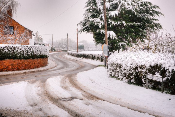
Britons are braced for a blanket of snow this week, as a deep chill prompts weather warnings.
A band of rain is due to push east across England on Tuesday evening, bringing widespread snow to the south of the country overnight.
Around 1cm to 3cm of the white stuff is expected to accumulate “quite widely”, the Met Office said, with the possibility of 5cm to 10cm falling on higher ground.
A yellow warning is in place for the south of England, East Midlands and West Midlands from 9pm on Tuesday to midday on Wednesday.
The Met Office warned of possible disruption including delays on roads, stranded vehicles and cancelled rail and air travel.
It said there was a “slight chance” rural communities could be cut off and that power cuts may occur.
Monday evening will see more frequent rain, sleet and snow showers in north western parts.

“Rain, sleet and snow showers will become more frequent in north western areas during the evening and overnight, with some icy conditions. Largely dry elsewhere with clear spells and widespread frost,” the forecaster said.
Met Office forecaster Ellie Creed added: “I think you could well find it’s somewhere between -5 and -7C over the Scottish glens.
“But actually for lots of places maybe negative degrees, about -2 to -3C in the north, whereas some cities in the south will be hovering around zero.”
She added: “It’s a case of normal wintry hazards that we would expect - snow, ice, frost are going to be quite prevalent over the next few days.”
It follows a windy weekend that left parts of Wales without electricity on Sunday as overhead cables were felled.
Strong northerly winds with gusts of up to 70mph pounded the west and east coasts.
The Met Office said the winds would slowly ease overnight into Monday.