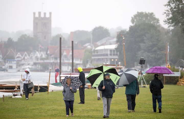
It’s summertime in Britain, which can mean only one thing when it comes to the weather – that’s right, you’re getting all of it, crammed into a few days that will throw your wardrobe planning into utter chaos.
As you will have already noticed, today has been rather wet. Here’s proof – just look at all those umbrellas at the Thames Traditional Boat Festival in Henley-on-Thames...

First the bad news – there’s more rain on the way - only this time it’ll be accompanied by thunderstorms, with yellow weather warnings issued for Scotland and the north of England for Friday evening going into Saturday morning.
Saturday evening and Sunday should be rather marvellous with only scattered light showers and balmy temperatures ranging from 20C in the north to 26C in the south.
Here’s a full weekend forecast from the Met Office.
But because this is Britain, those lush warm temperatures may get a bit too hot later next week.
Those of you living in the south-east can expect temperatures up to 34C, enough to melt a Fab lolly in approximately minutes.
HuffPost UK asked the Met Office if the hot weather is the result of another “Saharan bubble” or a “continental heat dome”.
Turns out it’s actually caused by nothing more complex or terrifying-sounding than it being summer.
The Met Office’s Nicola Maxey, said: “There is always speculation in the media when we have warm weather there has been talk about a ‘continental heat dome’ and a ‘Saharan bubble’.
“These are not meteorological terms that are recognised professionally and their origins are often unclear.”
“As to the reason for the warm weather - as can often happen at this time of year, a high-pressure system has developed over the near continent increasing temperatures over Europe, then warm continental air moves north into the south and east of the UK.”
So there you go – it’ll be hot next week. Because that’s what happens in the summer, sometimes.
