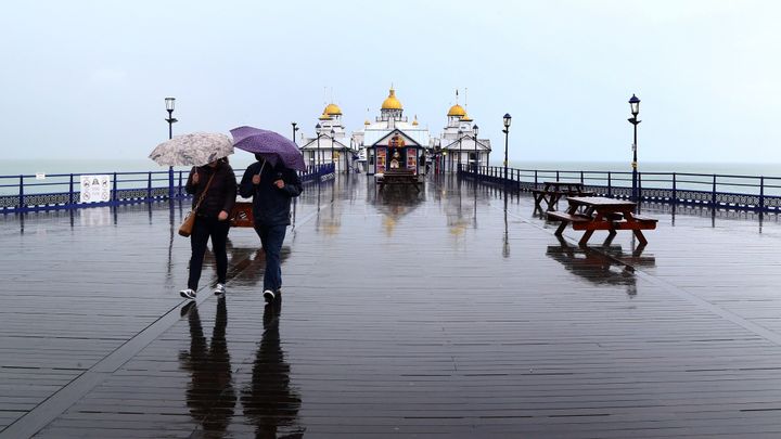
Forecasters have warned that parts of the UK could be inundated with more than 100mm of rain this week.
The Met Office issued a series of weather warnings as heavy rain drenched much of England and Wales on Monday.
An amber alert covering London and parts of the South East was warning of flooding and potential transport disruption until 11pm.
A wider yellow prolonged rainfall warning, spanning an area of eastern England from the Humber down to the south coast, was set to last until midnight.
Another yellow rain alert covering parts of south-west England and South Wales was due to end at around 7pm.
According to the Met Office, Herstmonceux in East Sussex had had the worst of the rain by 5pm on Monday, with 30mm.
Total rainfall is predicted to be much higher after heavy thundery downpours later.
Between 50mm and 60mm is expected over four to six hours in London and south-eastern counties until about 11pm.
The average rainfall for the whole of June in the South East is around 50mm, the Met Office said.
On Tuesday, yellow warnings are in place for Exmoor and a large area of eastern and north-eastern England, where rainfall could reach 60mm.
On Wednesday and Thursday, similar areas, plus northern Wales, could be struck by 60mm to 80mm of rain, and possibly even up to 100mm.
Met Office meteorologist Alex Burkill described the figures as the “worst-case scenarios” but added that people need “to be aware that we’re in for some treacherous weather”.
“If you add it all up some places are likely to see over 100mm this week, which is around double the average they would get in the whole of June,” he said.
The Environment Agency has issued a flood warning covering the River Wandle at Morden in south London, urging people to take immediate action as the flooding of properties is expected.
The agency said on its website shortly before 6pm on Monday: “River levels have risen as a result of localised thunderstorms. Flooding of property is expected imminently.
“Please take action. Further thunderstorms are forecast over the next six hours.
“We expect river levels to remain high until around 10pm on Monday evening.”
Residents are being told to avoid low-lying footpaths near local watercourses and plan driving routes to avoid low-lying roads near rivers which may be flooded.
A further six flood alerts are warning people to prepare for potential flooding in parts of south London, Nottinghamshire, Wiltshire and Devon.