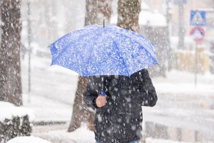
The Met Office has just forecast when we might be able to expect the first snowfall of the season – and it will be a lot of earlier than you might have anticipated.
In fact, it’s looking like winter might make its presence known this week, even though the UK typically gets snow in December or January (if any at all).
When will it actually snow?
Met Office has predicted that it will get colder again through Monday evening, as frost starts to creep in.
The Met said some rain showers along the east coast could start to become sleet at higher ground – and conditions could become “increasingly wintry” towards the middle of the week.
Speaking last Friday, Met Office deputy chief meteorologist Dan Harris said the weather forecasters expect “a return to widely cold but quiet conditions”.
However, the expert stopped short of offering a clear date.
He said it’s hard to predict the weather beyond the middle of the week, but it “does look as though there will be a trend towards something more unsettled, as areas of cloud and rain attempt to move across the UK”.
Snow is looking likely over higher ground beyond mid-week as the rain from the west moves east.
He added: “There is a chance that a more active weather system arrives from the southwest, which would bring more widespread rain, stronger winds, and the potential for more significant snowfall should the air over the UK become sufficiently cold ahead of it.”
At the very least, Harris predicted there would be “a continuation of colder than average conditions”.
The Met also explained in a video on X (formerly Twitter) why low pressure could bring rain and snow to parts of the UK by Thursday.
Why is predicting snowfall so hard?
The UK doesn’t often get snow because it is surrounded by warm seas – that’s why we’re more likely to get a mix of rain, sleet and snow than places in continental Europe or North America.
The conditions for snow to actually settle are also quite hard to achieve. The air needs to be just cold enough – but there has to be some moisture, too.
Hilltops are more likely to get snow than ground level because air at that height is usually cold enough for snow to settle (also known as freezing level, or 0C).
The Met explains on its website that most precipitation actually starts off as snow or very cold rain, high up in the atmosphere.
It’s tough for forecasters predict how it will change as it moves closer to the Earth and warms up.
They have to consider if it came from a warmer location, how heavy the rain might be, and if the rain will fall just as a warm front meets a cold one.
All these factors can change whether what we see on the ground turns out to be rain, sleet or snow.
The Met said: “You’ll often find that there’s a fine line between who sees snow and who sees rain. Sometimes a fraction of a degree is the difference between rain and snow. That’s what makes forecasting snow difficult (and often frustrating!).”